
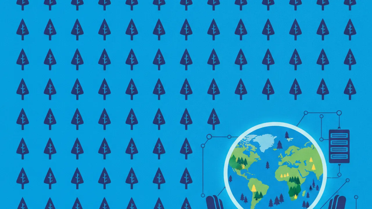
Google DeepMind has shared details on a global mapping project designed to document land surfaces across the planet. The initiative provides a global map that classifies terrain at a resolution of 10-meter patches. Through this system, terrestrial land areas worldwide are sorted into distinct forest categories.
The dataset focuses specifically on categorizing land coverage at fine spatial intervals across the entire globe. Each identified 10-meter section of land is assigned a designation corresponding to its forest type. This system structures worldwide geographic data by differentiating between forest varieties on Earth.